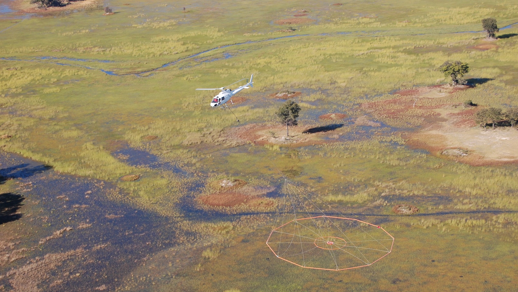
Data collection
Geotech helps you get the data you need with our helicopter and fixed-wing Gravity, Magnetics, VTEM™, ZTEM™ systems. We are a reliable and professional provider you can count on to complete a program on budget and on schedule.
Data processing and interpretation
Geotech’s work on many regional government surveys enables us to customize data processing, work with requests from the tender or help to design optimal delivery of maps, grids and final data.
We offer pre- and post-survey training (including Geosoft training) to help government agencies work more effectively with data sets. We also help you promote data by assisting with the preparation of marketing materials.
We provide data interpretation on request. A recent example is a program in Niger that included in-depth interpretation using neural networks and data integration.
When you engage Geotech, you can count on:
- Professionalism: accredited professional geoscientists review your data
- Expertise: everyone in our interpretation group has a minimum of 10 years of experience and we encourage all employees to achieve accreditation
- Comprehensive analysis: we study past data sets from our own and other companies’ surveys
- Customization: both the data and the level of support we offer are tailored to your needs
- Integration: we can examine data alongside geologic information if you wish
- Care: we value and protect all of the data we collect