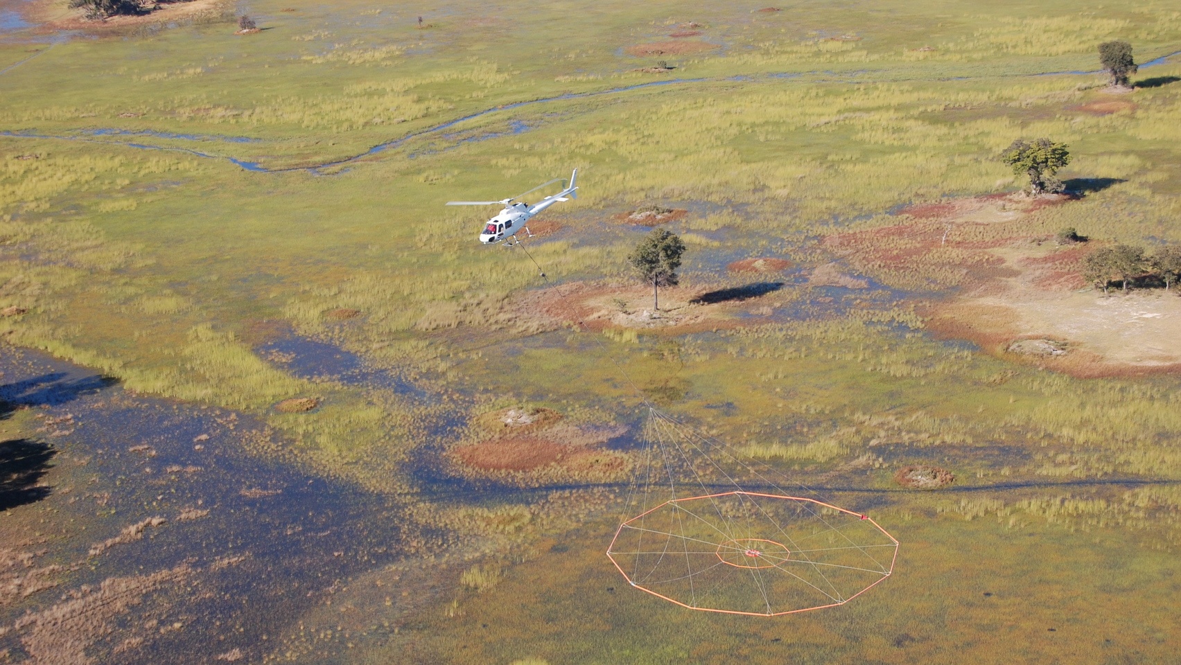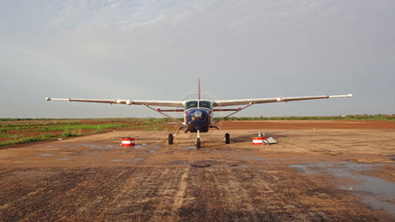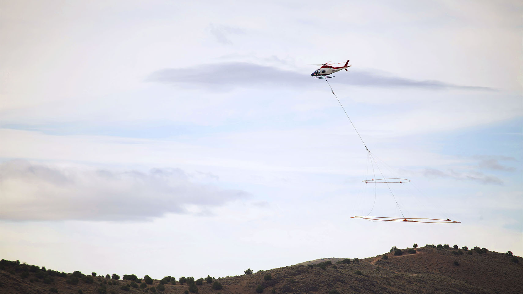
Data collection
Geotech’s innovation and expertise in airborne geophysics is widely recognized in the mining and minerals industry. We enhance your knowledge of regional geology and your property using the most advanced subsurface mapping technologies in focused (as small as 100 line-kilometers) and vast regional surveys.
Data processing and interpretation
We provide an industry-standard set of deliverables, including maps, grids and your database in digital format. When you engage Geotech, you can count on:
- Professionalism: accredited professional geoscientists review your data
- Expertise: everyone in our interpretation group has a minimum of 10 years of experience and we encourage all employees to achieve accreditation
- Comprehensive analysis: we study past data sets from our own and other companies’ surveys
- Customization: both the data and the level of support we offer are tailored to your needs
- Integration: we are able to examine data alongside geologic information if requested
- Care: we value and protect all of the data we collect